


Key takeaways
- OlmoEarth Studio exports custom int8 geospatial embeddings as Cloud-Optimized GeoTIFF files via UI and API.
- Linear probing achieved a 0.84 weighted F1 score on land-cover mapping using just 60 training pixels.
- Models and source code remain open source, allowing self-hosting alongside cloud-based Studio compute.
What happened
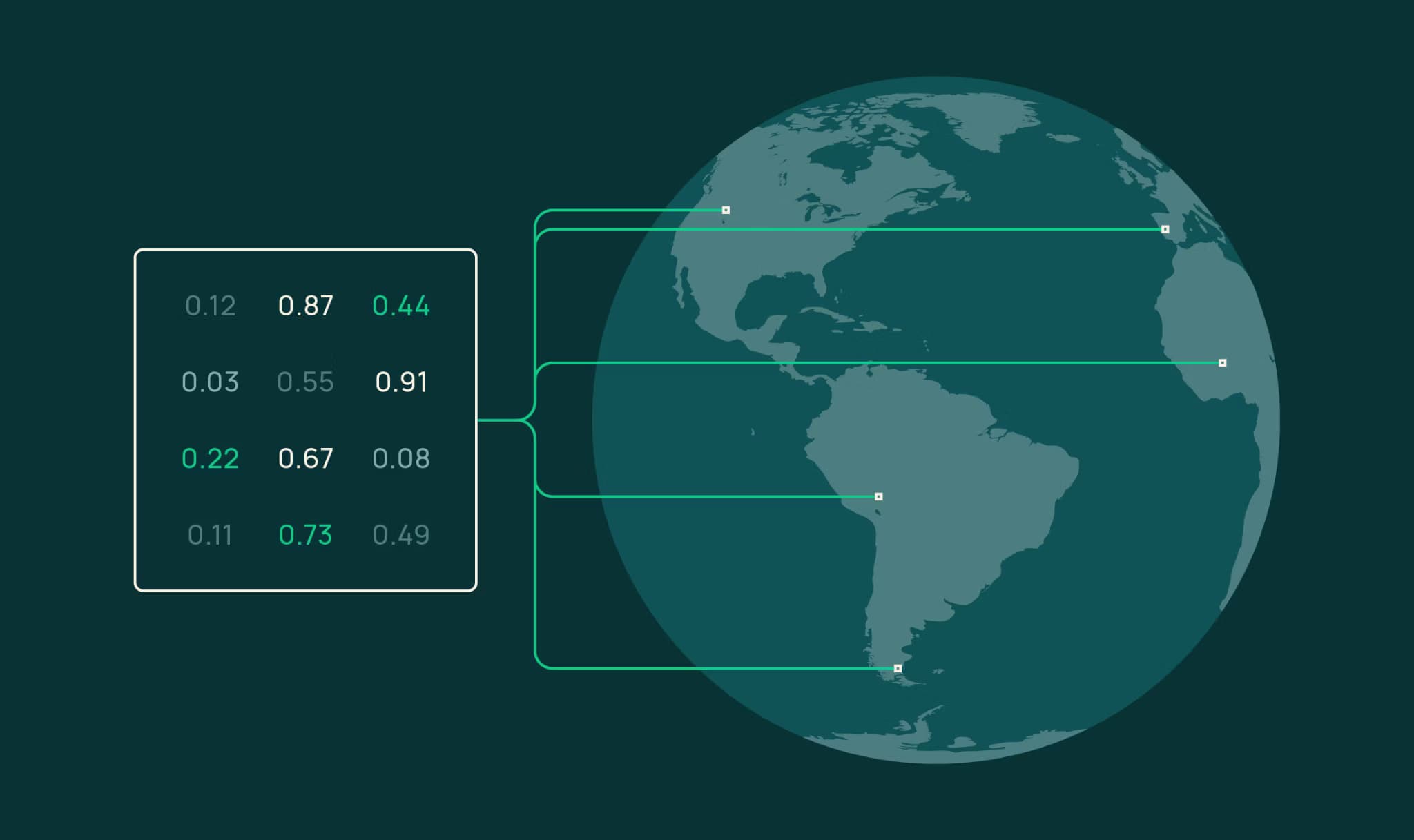
OlmoEarth Studio has introduced a feature allowing users to compute and export custom embedding vectors derived from its open-source OlmoEarth foundation models. These dense vector representations capture complex geospatial surface characteristics from Earth observation data, such as Sentinel-2 imagery, across custom timeframes and spatial resolutions.
Users can configure model parameters, spatial areas, and temporal ranges through either the Studio web interface or an API, receiving output files formatted as Cloud-Optimized GeoTIFFs (COGs).
The exported embeddings compress multidimensional satellite imagery into signed 8-bit integer (int8) bands, ranging from -127 to +127, drastically reducing storage requirements and transfer overhead while preserving rich semantic information. The open-source repository provides utility functions to dequantize these representations back into floating-point vectors for downstream processing.
By generating representations on demand rather than relying on static global archives, the system allows practitioners to analyze specific temporal events, such as monthly agricultural dynamics or sudden land-use changes.
In addition to the cloud-managed service, the underlying model weights, source code, and associated evaluation benchmarks have been made fully available to the public. Users can choose between smaller, efficient variants like OlmoEarth-v1-Tiny—a 192-dimensional encoder operating at 40-meter spatial resolution—or larger 768-dimensional Base models depending on their compute budget and performance needs.
Why it matters
Earth observation analysis traditionally requires substantial computational resources and massive labeled training datasets to train specialized computer vision models for tasks like land-cover segmentation or environmental monitoring. OlmoEarth’s pretrained embeddings shift this paradigm by organizing complex ecological and geographical distinctions during self-supervised pretraining. As a result, downstream tasks require drastically fewer ground-truth labels.
84 across coastal mangrove, water, and land classes in Vietnam, demonstrating that the underlying representations carry high semantic richness right out of the box.
Furthermore, these custom vectors enable zero-shot geospatial workflows such as zero-label similarity search and automated change detection. By performing simple cosine distance calculations between temporal embedding pairs—such as comparing September 2023 and September 2024 composites—analysts can pinpoint structural landscape modifications without manual feature engineering.
The standard COG delivery format ensures seamless integration with existing geographic information system (GIS) software, bringing advanced foundation model capabilities directly to domain experts and environmental scientists.
What to watch
As foundation models increasingly expand into multimodal and remote sensing domains, the release of accessible, low-latency embedding pipelines marks a key step toward operationalizing geospatial AI. Observers should track how third-party developers integrate these exported COGs into automated GIS pipelines, urban planning tools, and real-time climate monitoring dashboards.
Future updates may bring larger encoder variants, native integrations with broader satellite constellations, and expanded supervised fine-tuning workflows within the Studio platform to serve specialized high-performance applications.